Notes on the Routes West of Cumberland
Reference
in C&O Canal Companion:
Canal Guide Mile 184.6
|
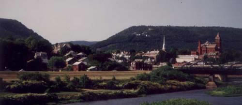
A
contemporary view of Cumberland from the canal, with the Narrows in
the background.
|
|
To be addedMile 184.6, note for "Further Routes West": *** The old trail to the West avoided the beckoning Narrows and proceeded up the side of Will's Mountain, much like today's Interstate 68. However, there was an alternative: after Braddock's men had spent several frustrating days trying to clear a wider road along this packhorse trail in 1755, they decided it would be easier to find a way through the Narrows. This may seem an obvious choice to the modern observer, but it's hard to know what the banks of Wills Creek were like in the mid-1700's, before the railroads built firm railbeds along both sides of the creek. Whatever the reason, the passage through the Narrows was not firmly established until the National Road was re-routed along Will's Creek in 1834. In later years, when the railroads arrived, the Narrows seemed a much more logical path than trying to ascend the slope of Will's Mountain. One of the railroad routes through the narrows, is now used by the Western Maryland Scenic Railroad, which takes visitors up to Frostburg and back. As of 2003, plans are underway to realign the Scenic Railroad track to make room for a parallel hiker-biker trail that will connect through Frostburg to the rail-trail in Pennsylvania that runs past Ohiopyle and up the Monongohela River. If all goes well, intrepid travellers should be able to hike or bike all the way from Georgetown to Pittsburgh by 2004, following the way to the West that was pioneered by George Washington.
|
|
Documents
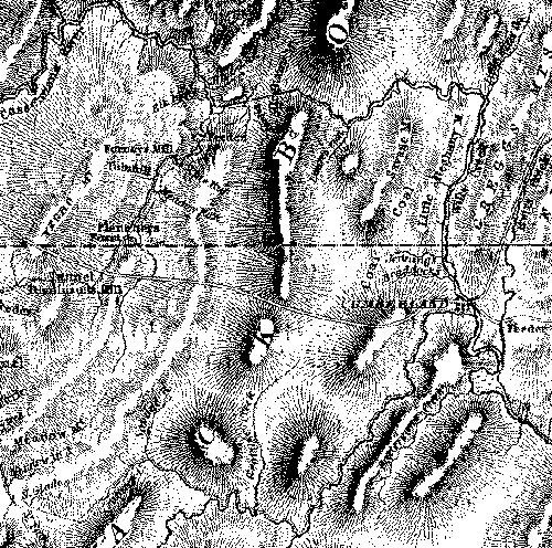
The
faintly dotted lines along Will's Creek and Savage River |
|
|
Sources:
Also on the Web:
|